….Valley
Catching up April 23rd April 2018
Jokingly or not, a few people questioned my need for brakes. That thought, from the previous evening, lead me to decide to fly out of Marble Canyon first thing, brakes or no brakes. I would position to Page Municipal airport (KPGA). From there I would be able to communicate with the world and have access to mechanics who might assist with any repair.
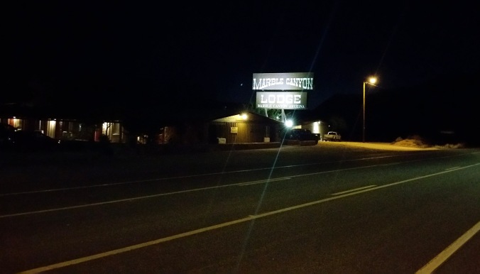
Marble Canyon Lodge at 05:35
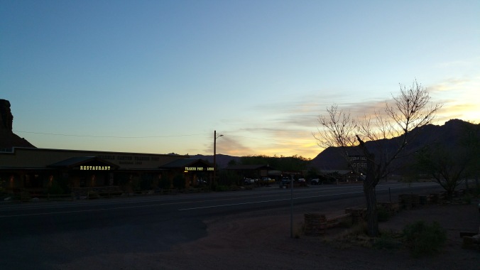
At 5:00 am I was awake and re-packing everything that I had laid out on the floor from the previous afternoon. Next it was trekking back and forward, back and forward, between my hotel room and the BZIM. The early morning was nice and fresh. Cool for locals it seemed, a few appearing wearing jackets and trousers. It was 16’C, almost a summers day back home in Scotland.
sunrise getting close
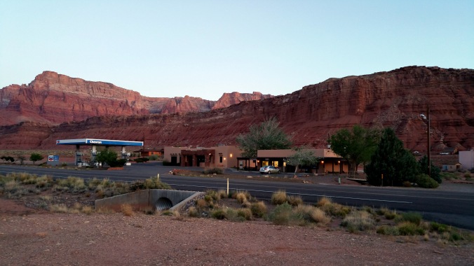
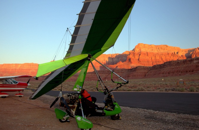
red rock and sunlight and the BZIM
The preparations were completed as the sun rose, turning the canyon sides flaming red. Wow, wow and wow. This is why so many people awake and outside already.
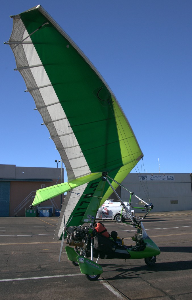
With no wheel brakes I had to leave the aircraft chocked as the engine was started and oil temperature brought up to 50’C. At that point, the engine was turned off, chocks stored and engine restarted. iEfis on, radio on, transponder on, traffic monitor on, lights and strobes on, final checks carried out, radio call announcing my immediate departure, final look around and the BZIM was rolling.
Less than 12 hours earlier I had resigned myself to being stuck at Marble Canyon for days. Less than twelve hours later, the BZIM and I, back where we were supposed to be be! In the air, flying,
After departing and turning north east, it was difficult resisting the temptation, to do as many pilots dream of doing, flying under a bridge. The Navajo Bridge in this case. Resist I did though, fearful of being seen and reported on. The the FAA would likely be quick revoking my permission to fly. Perhaps one day, somewhere!
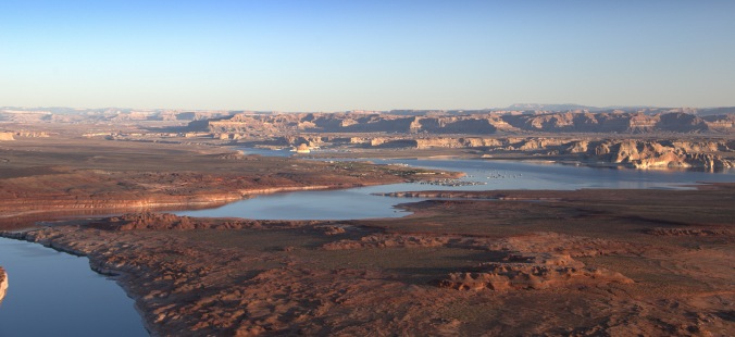
Lake Powell looking stunning in the morning sun
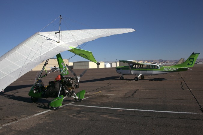
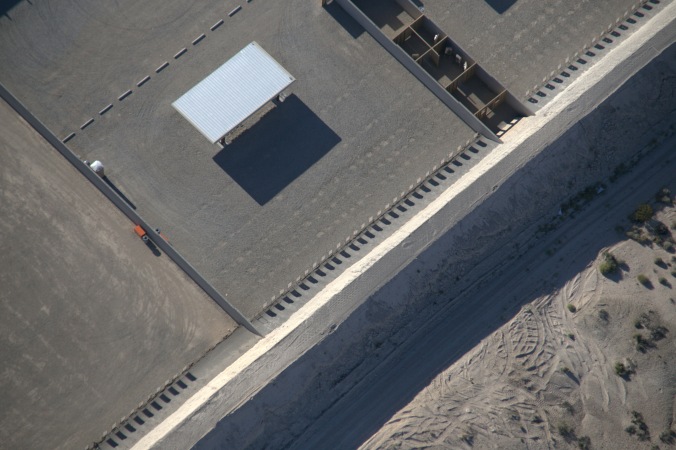
The flight to Page airport was short, only twenty minutes. Landing with winds, calm. Runway length of almost 6000 feet, at an elevation of 4316 feet. The BZIM had slowed to taxing speed well before it vacated the runway at the midpoint. Using the slope of the apron and cutting the engine at the correct moment slowed the BZIM to a stop and soon it was parked alongside a nice, similarly green coloured, Cessna.
 Starting, departing, landing and parking were all accomplished without brakes. I now could see no reason why I should wait for parts to arrive before continuing. A quick telephone to P&M Aviation in the UK, confirmed the part required. The part would be sent to an airport ahead of me. By 8:00 am the BZIM was airborne again, continuing the adventure.
As I was heading south west again, I decided to fly another approach to Marble Canyon airport. The previous evening I had been speaking to one of two french pilots that had flown into Marble Canyon. They were preparing their aircraft, stopping to wave, as I flew a low approach. Now towards the Grand Canyon!
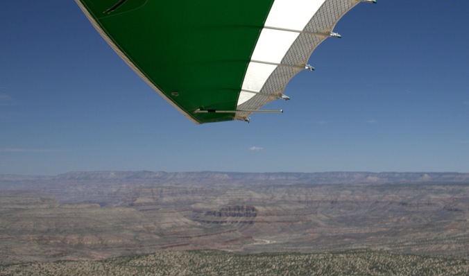
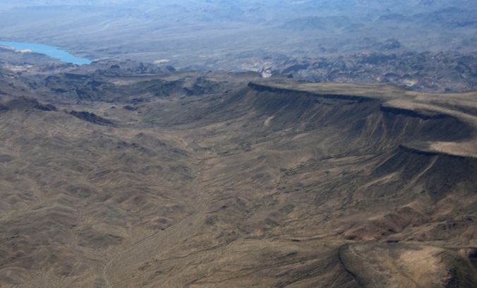
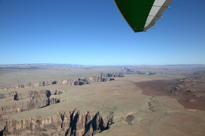 As the morning temperatures increased, so did the thermals. Heading south towards the southern edge of the Grand Canyon I could see the land rise and rise in front of me. Stronger thermal jolts were being felt the higher above ground the BZIM flew. Knowing the conditions would only continue to worsen as the morning progressed, I decided to forgo the goal of flying over the Grand Canyon. A late evening flight, or very early morning flight would provide the best flying conditions to cross the Canyon. I had missed that window.
-
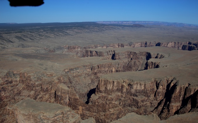
Looking towards the Grand Canyon
the Grand Canyon in the distance
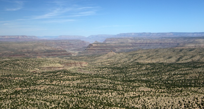
The decision was made to instead fly to Grand Canyon Valle Airport, roughly 25 miles due south of the Grand Canyon. Overflying the Kaibab National Forest provided a change from the desert landscape of previous flights.
The generosity offered to visiting pilots at US airports was once again a pleasure to behold at Valle. Handed to keys to the owners own large pick up truck, I drove to the local gas station for unleaded and then to Fred’s Diner, Bedrock City for breakfast.

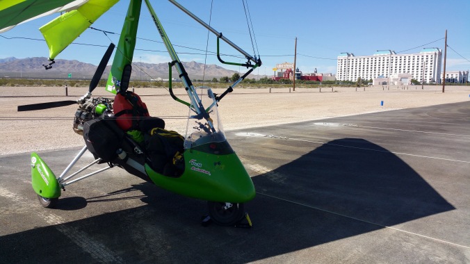
G-BZIM at Valle
Valle Airport is the location of the “Planes of Fame Air Museum”. Unfortunately closed, however some aircraft were visible whilst air-side.
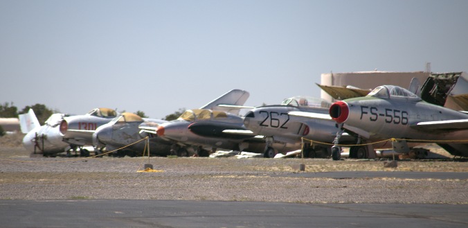
Planes of Fame Air Museum
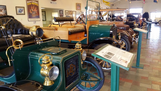
Within the FBO/terminal building, there is a large collection of impressive vintage cars on display.
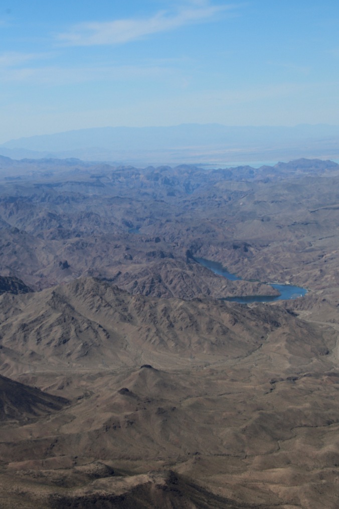
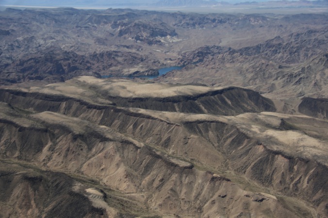
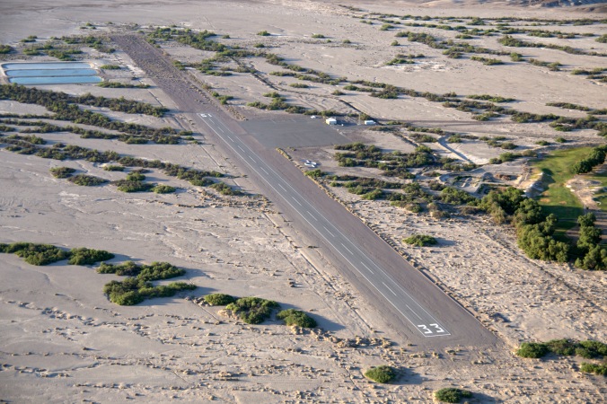
Valle airport is 5999 feet above sea level. Departing around 11:15, temperature 20’C with a density altitude of almost 7800 feet. Ahead, the land would increase height to around 6800 feet. Crossing this higher ground wasn’t easy. Full power, bar slightly pushed out, trying to climb, was only keeping the microlight flying at level flight. Occasionally a shallow climb would develop but maintaining the climb was difficult. Airspeed around 52mph. Relaxing the bar, returning to a cruise speed of 60 mph resulted in the microlight descending below the top of the land ahead. Turning away from the hills, looking options, the BZIM entered a thermal and climbed. Quickly putting the BZIM into a turn, I tried to stay within the thermal for as long as possible. Finally, at around 1000 ft above the height of the hills, I continued at full power crossing the hills, finally able to descend towards the Las Vegas valley and Jean
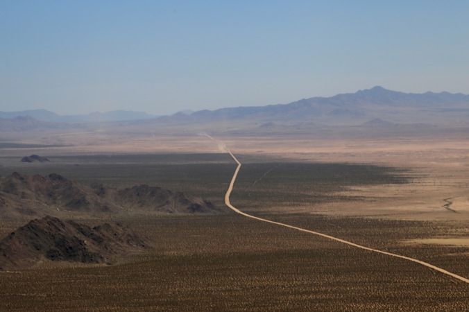
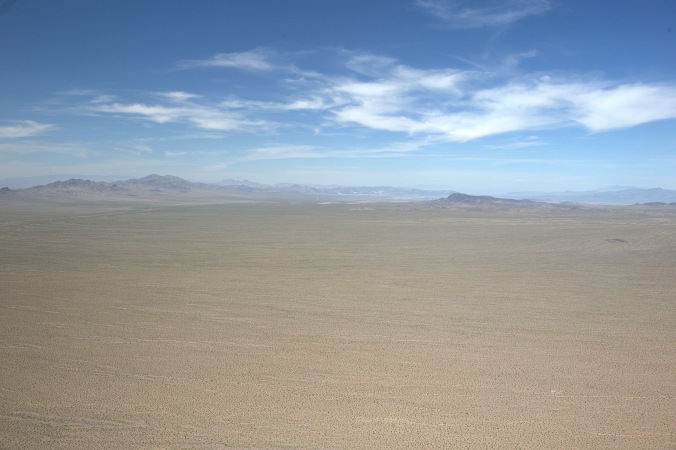
The next four hours flying, crossing wasteland, canyons, hills, dry lake-beds and mountains was some of the toughest, relentless flying I’d encounter. The dry lake-beds, hills and mountains had to be weaved through. Any attempt to try to climb resulted in slow long drawn out climbs with increasing turbulance due to the higher winds aloft.
-
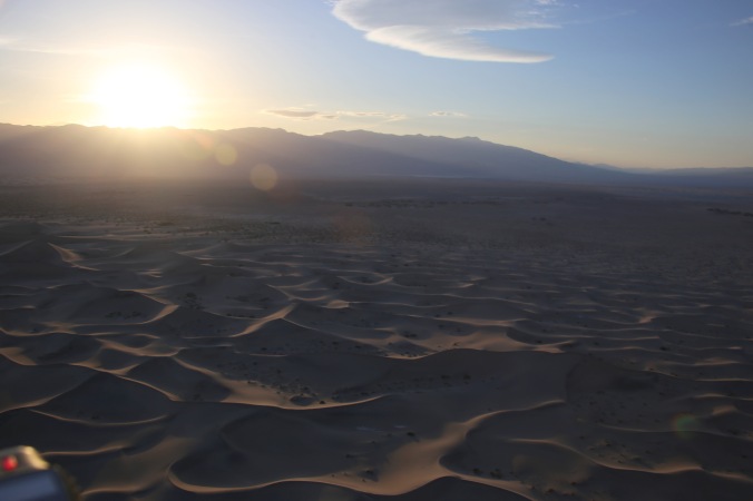
Dust devils in the distance
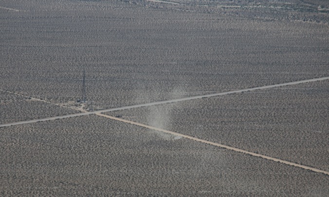
dust devil subsiding
Having left the seat on a number of occasions, jolted by rotor from jagged hill tops, I weaved between lower ridges, always aware from which direction the wind was coming from. Finally as the last ridge was passed I could relax, knowing the worst was over. Jean would soon be round the corner. Landing in a 18 mph, gusting more crosswind, it felt good being able to relax.
Two aircraft, a Cessna and a PA28 were bashing the circuit as I taxied to the apron. The skydiving school was busy inside, no sign of any venturing outside til later perhaps.
The BZIM was tied one wing down with some nice weighty chains. A quick check of the wind forecast to see if there was to be any change in direction. None forecast. With a hotel/casino close, I contemplated staying the night. My en-route flight calculations had implied there was not enough time to get into Death Valley. I would have to wait til the morning. This would make leaving the Death Valley area mid morning a bit more difficult.
During reviewing of my plans, eating at a Denny’s, somehow it appeared I now did have time to reach Death Valley. What? how? …I suddenly realized, I had forgot to adjust for yet another time zone that had passed.
A quick call to Stovepipe Wells ensured a hotel room was available. Hoping the winds had lessened, a quick return to the airport didn’t provide much relief. Refuel first. Avgas this time. A local pilot was surprised to see a weight shift trike flying today, even more surprised to see a UK one. He advised to be wary of the mountains and military airspace to the north, saying the winds wouldn’t die down for another hour or so. An hour delay would mean I couldn’t make my destination.
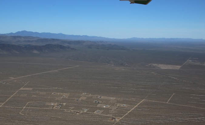
The flight across the mountains was nothing compared to the previous four hour flight. After the first ridge passed, the wind calmed a lot. Once again, flying was pure enjoyment. A strange, in the middle of no-where, complex was overflown. False buildings and rooms were obvious. Only when targets were seen was it clear this was some sort of weapons training facility. Front Sight Firearms Training I later learned was the complex.
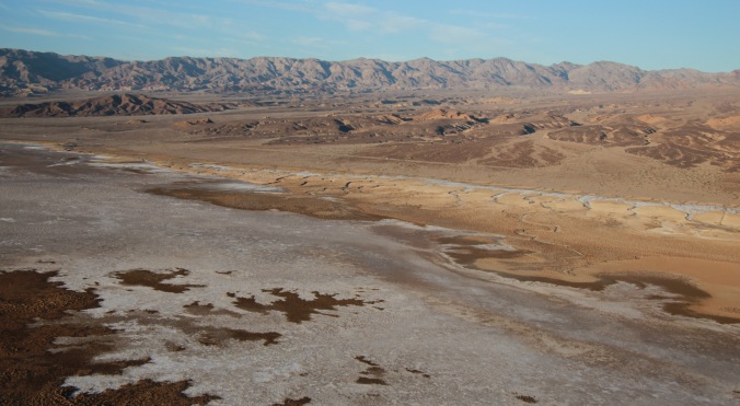
Continuing the flight towards Death Valley, it was surprising to see areas of new built housing communities located in such a dry arid area. The lush greenness of lawns was obvious and out of place in comparison to the surrounding desert seen from above. Flying conditions, continued to improve, allowing low flight between hill areas.
Eventually Furnace Creek, was spotted, an approach and landing made to the lowest airport in the USA at −210 feet below sea level. The landing was only for a log book entry.
Departure without stopping, heading across Death Valley to Stovepipe Wells, flying low level, even flying below sea level!
-
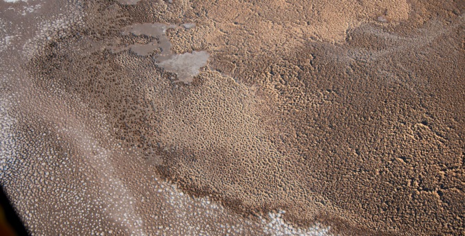
Furnace Creek
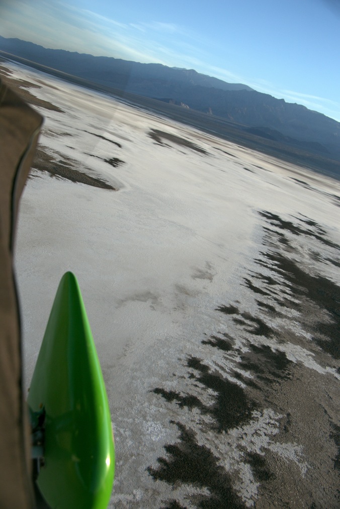
Death Valley!
The landing at Stovepipe Wells didn’t go quite to plan. Late touchdowns and a down sloping runway from the mid-point, resulted in the engine having to be quickly started and power increased to take-off before the runway end. Eventually after three landing attempts, the BZIM landed and was parked for the night. Just as the sun set.
A true sunrise to sunset flying day!


Michael, this is awesome!
LikeLiked by 1 person
Thanks Loretta…. Slowly I’ll get to complete the blog 😉
LikeLike
Enjoyable read Micheal! What a trip. Fred’s Diner was perfect given your new Flinstone braking system….Well done mate.
LikeLiked by 1 person
Michael, so glad to see you’re still taking amazing pictures !! thank you and safe travels as always. Connie
On Tue, Jul 17, 2018 at 4:10 PM Flying America in a U.K. Microlight wrote:
> Michael and G-BZIM posted: “….Valley Catching up April 23rd April 2018 > Jokingly or not, a few people questioned my need for brakes. That thought, > from the previous evening, lead me to decide to fly out of Marble Canyon > first thing, brakes or no brakes. I would position to Page M” >
LikeLike